
Understanding the New Floodplain Maps (FIRMs)
Floodplain maps help show property owners their property's risk for flooding, whether the property is within a regulatory floodplain and, if so, what floodplain zone. These regulatory maps are also known as Flood Insurance Rate Maps (FIRMs) and are used by lenders and the insurance industry to determine which properties require flood insurance.
These FIRMs also are used by planning and development officials to help make decisions about development requests.
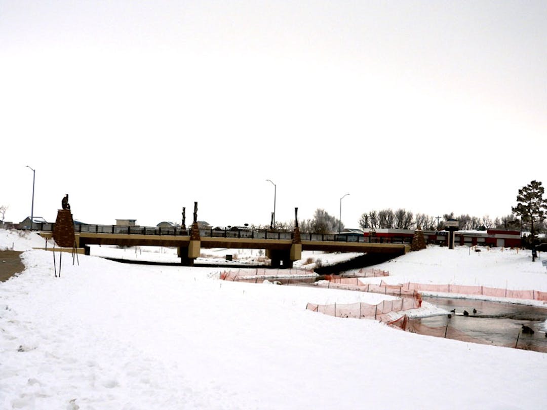
Floodplain maps are updated as changes occur. These changes can include more accurate topography, updated flow rates (hydrology), new public works projects (such as the Resilient St. Vrain Project) and updated modeling techniques, among others.
After the 2013 Flood, the Colorado Water Conservation Board (CWCB) began work to remap the affected floodplains along Colorado's waterways including St. Vrain Creek and Left Hand Creek. This program was named the Colorado Hazard Mapping Program (CHAMP). CWCB's draft floodplain maps were provided to the Federal Emergency Management Agency (FEMA) to update the FIRMs.
FEMA now has released its preliminary FIRMs, along with the supporting Flood Insurance Study (FIS). The maps are still available for review before formal adoption by FEMA.
The City of Longmont is encouraging residents living near St. Vrain and Left Hand Creeks to be aware of what floodplain zone changes (if any) may be happening to your property's because of this new study. This may be the best time for you to purchase flood insurance, if it will potentially be required for your property by the new maps.
We encourage you to explore this website to learn more about how the new FIRMs may affect your property or requirement to purchase flood insurance, as well as what options are available to you.
Who's listening

Level of Engagement

- Inform: Give information to the community
- Consult: Obtain feedback from the community
Documents
-
 Fact Sheet: How to Submit Appeal and Comments on Preliminary FlRMs (331 KB) (pdf)
-
HOJA DE DATOS: Cómo presentar apelaciones y comentarios a Mapas de Calificación de Seguros de Terrenos Inundables preliminares (654 KB) (docx)
-
Fact Sheet: How Will the Updated FIRMs Affect Me? (552 KB) (pdf)
-
HOJA DE DATOS: Mapas de Calificación de Seguros de Terrenos Inundables (FIRM) Actualizados ¿Cómo me afectarán? (658 KB) (docx)
-
Fact Sheet: Flood Insurance Basics (676 KB) (pdf)
-
HOJA DE DATOS: Aspectos Básicos del Seguro contra Inundaciones (659 KB) (docx)
